Route Development Process
A contractor will be appointed to this project in June 2023 and following their appointment they will produce a schedule of works which will be shared here.
The Harry Reynolds Pedestrian and Cycle Route seeks to improve connectivity within the town of Balbriggan and to serve its growing population with a healthy, climate friendly alternative way to travel locally.
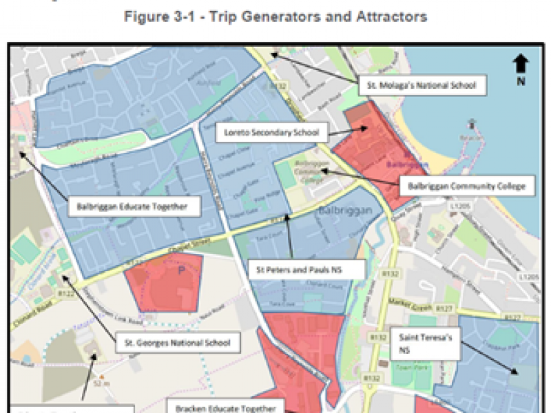
It will link to a number of schools and key attractions in the area and provide a real alternative to travel by car in the busy town.

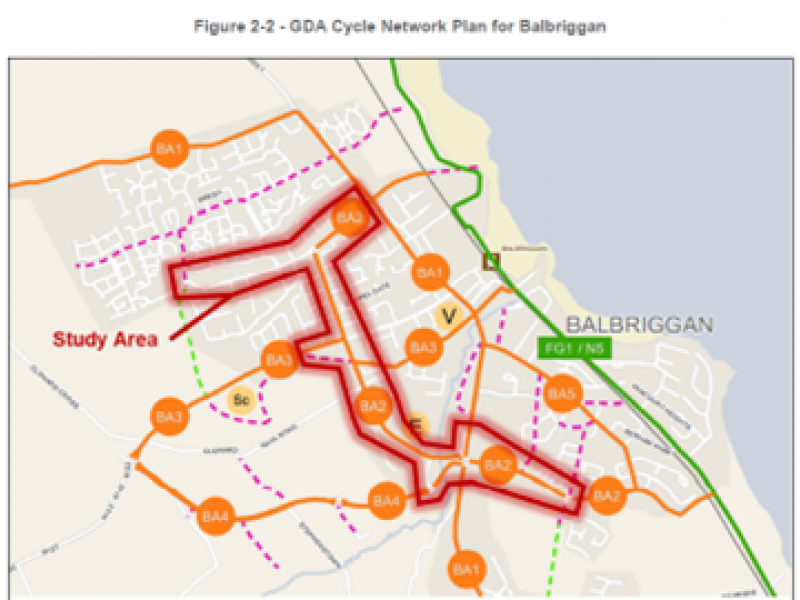
Linking to the Greater Dublin Area Cycle Network
According to the NTA the route is envisioned to be a core cycle corridor across the town carrying significant volumes of cycle traffic and providing critical connections between inter-urban routes, regional greenways, and local destinations.

Connecting Key Balbriggan Locations
The new route improves the journey to primary and secondary schools in all areas of the town, making it easier to leave the car at home and cycle or walk to class each day.

A short cycle around Balbriggan
This new route will make cycling within the town safer and quicker than ever. This map shows most areas of the town can be cycled to in less than 10 minutes.