Loughshinny Beach
Overview
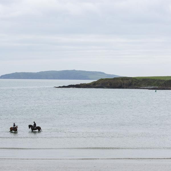
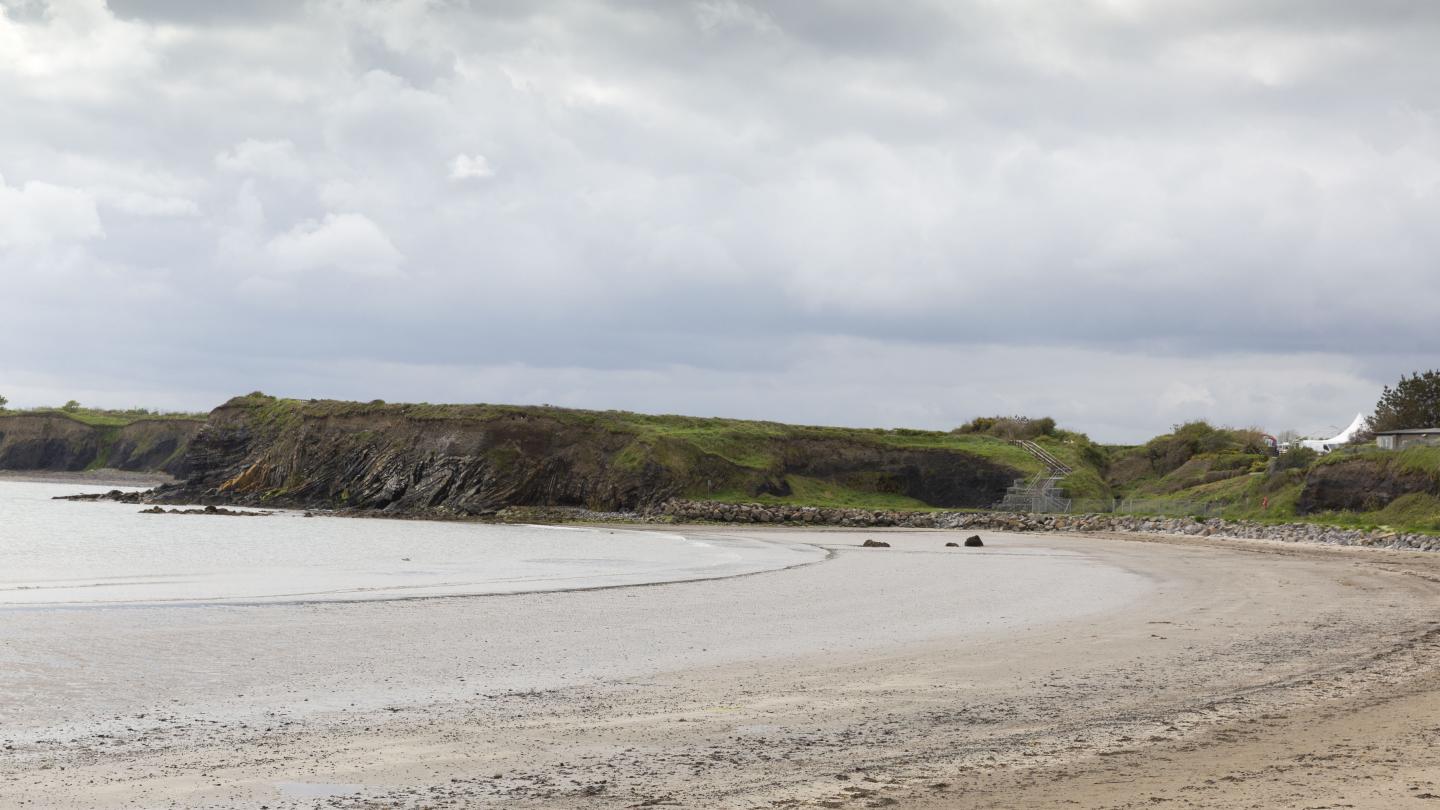
Loughshinny is a small seaside village with a sheltered cove-like beach, an active fishing harbour, a picnic area and a public car park. Read more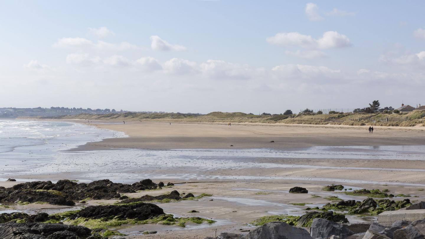
Balcarrick Beach
Overview
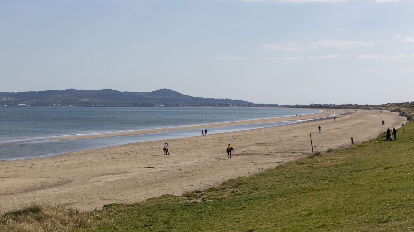
Balcarrick Beach is a long sandy beach, 3.4 kilometres long. It has a large area filled with sandy dunes and rock pools. The route for the coastal walk from Donabate to Portrane is displayed on boards at the Tower Bay Car Park and the Beach Car Park, Donabate. Read more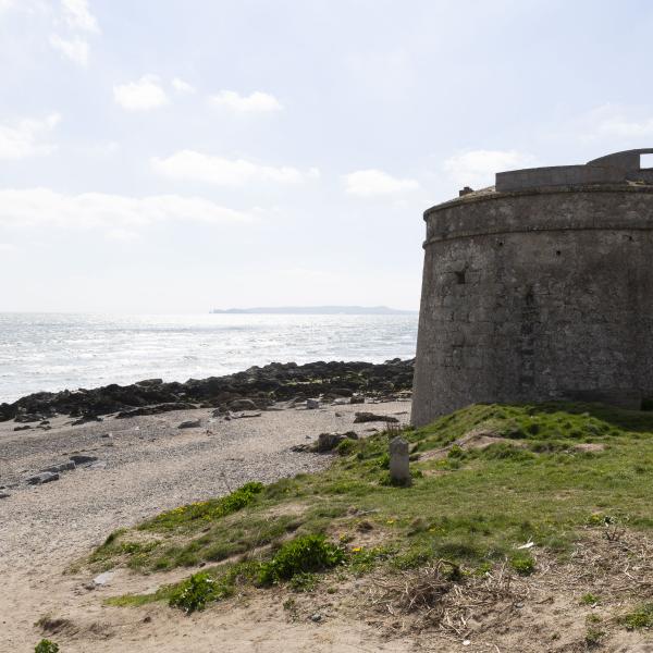
Balcarrick Beach is a long sandy beach, 3.4 km's long. It has a large area filled with sandy dunes and rock pools. The route for the coastal walk from Donabate to Portrane is displayed on boards at the Tower Bay Car Park and the Beach Car Park, Donabate.
Rush North Beach
Overview
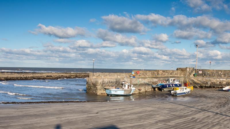
Rush North Beach is a sandy beach 1 km long with an active fishing harbour to the southern end. Read more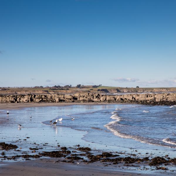
Rush North Beach is a sandy beach 1 km long with an active fishing harbour to the southern end.
Malahide Beach
Overview
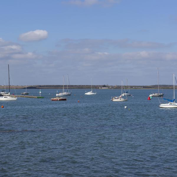
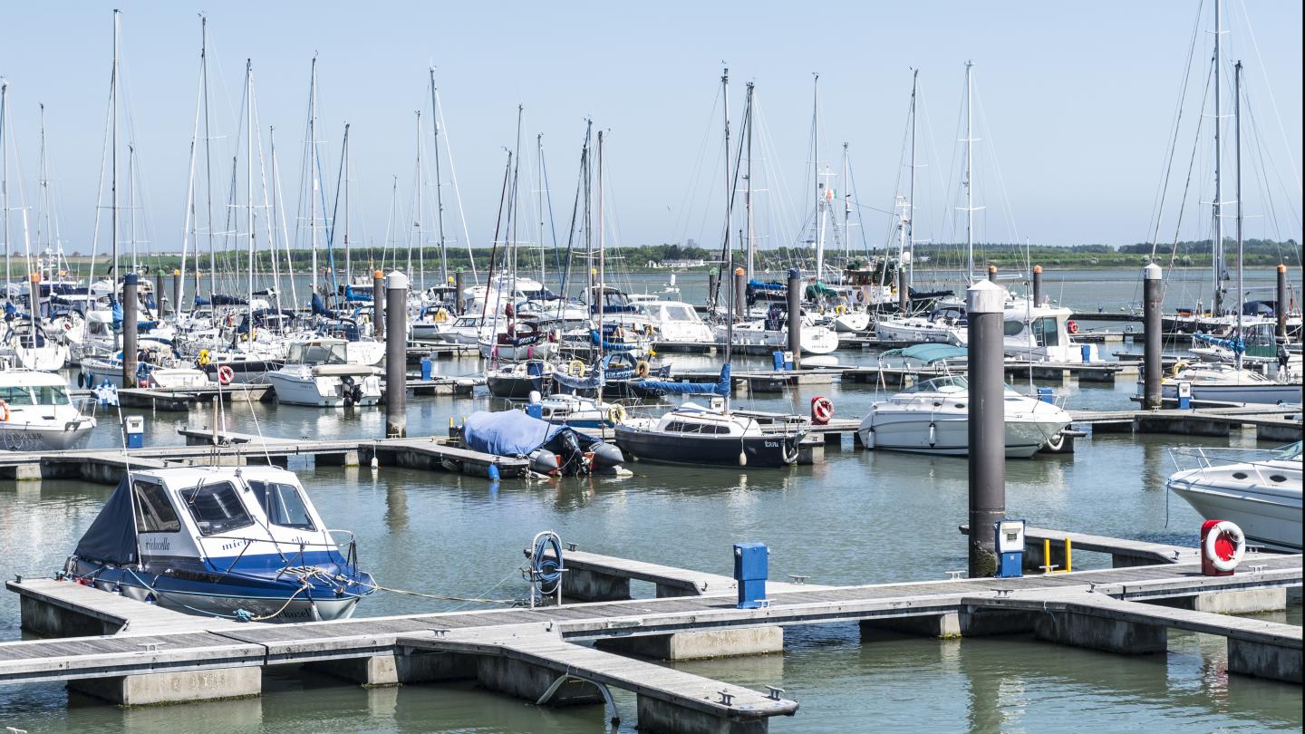
Malahide Beach is 2 km long consisting of an estuary and a marina. Read more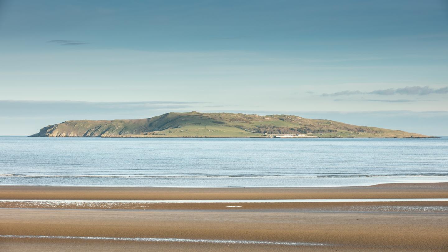
Rush South Beach
Overview
Rush South Beach is 2.4km long and is backed by a well established dune system. Read more
The Brook Beach
Overview
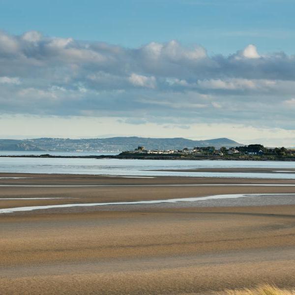
The Brook Beach, Portrane is a long sandy beach, 2km in length and extends from the village of Portrane northwards into the Rogerstown Estuary. Read more
The Brook Beach, Portrane is a long sandy beach, 2km in length and extends from the village of Portrane.
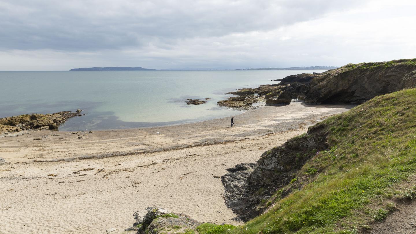
Tower Bay Beach Portrane
Overview
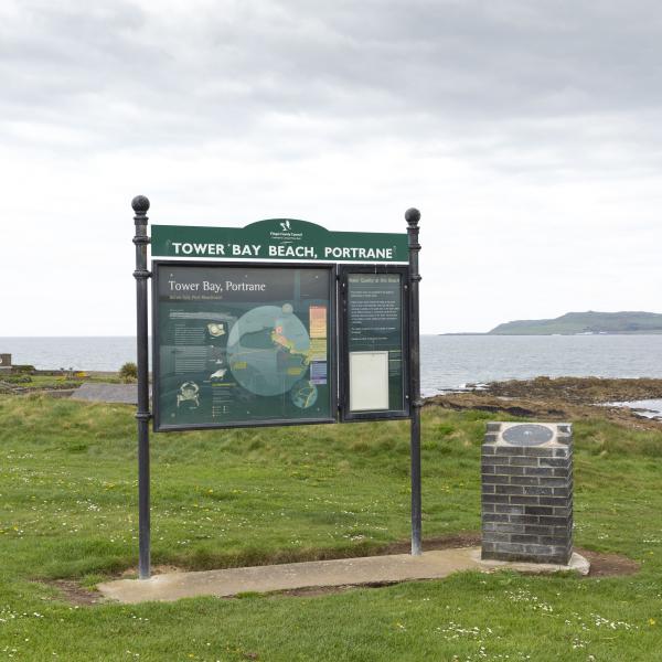
Tower Bay beach is located south of the village of Portrane, North County Dublin. Read more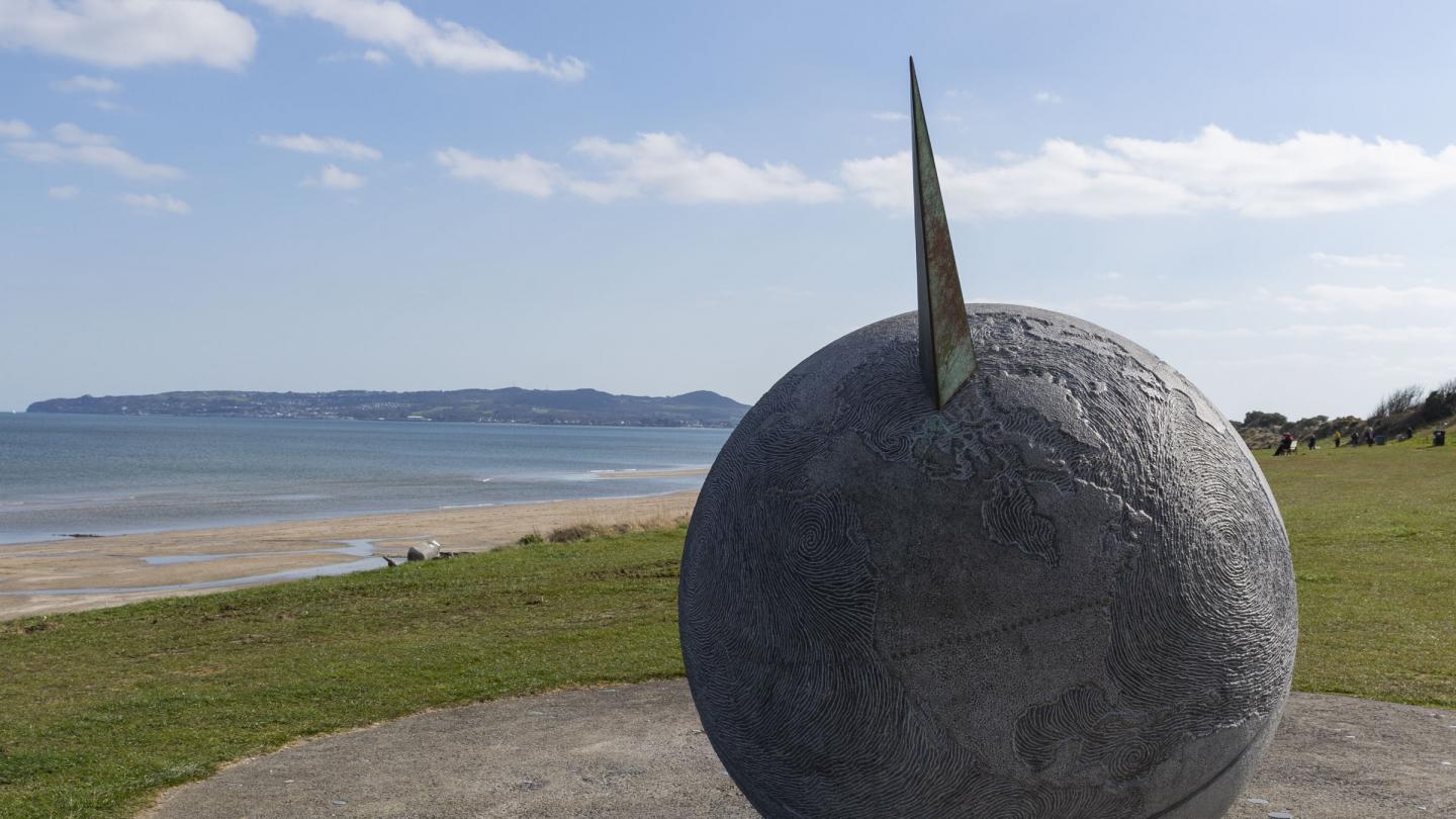
Velvet Strand Portmarnock
Overview
Velvet Strand is a 5km long sandy beach in Portmarnock. Read more
Velvet Strand is a 5km long sandy beach in Portmarnock, which boasts a coveted Blue Flag.
Balbriggan Beach
Overview
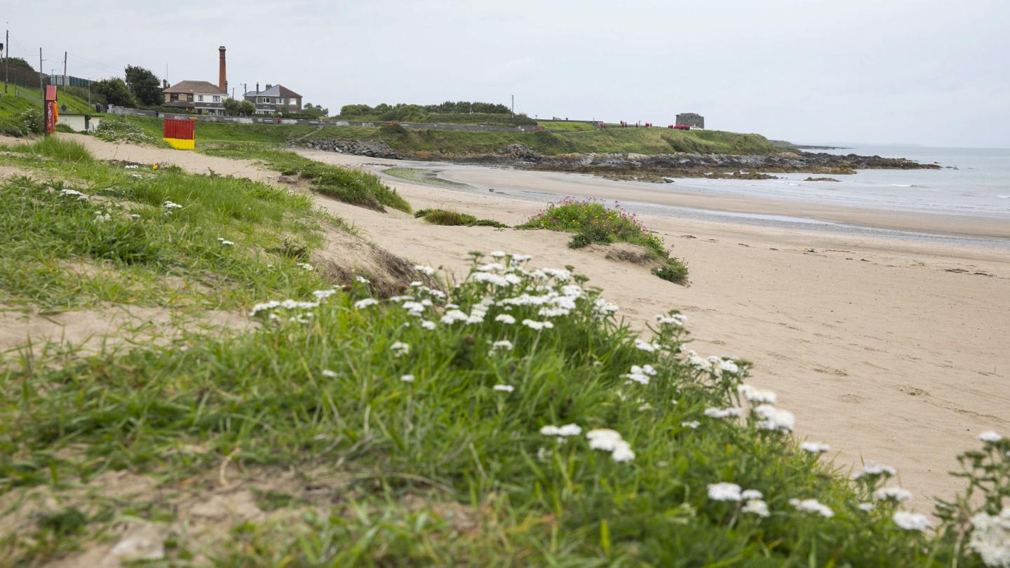
Balbriggan beach is situated close to the Main Street, behind an eleven arch limestone and brick railway viaduct. There is a working fishing harbour beside the beach where trawlers enter and leave on high tides. Read more
Balbriggan beach is situated close to the Main Street, behind an eleven arch limestone and brick railway viaduct.
Claremont Beach
Overview
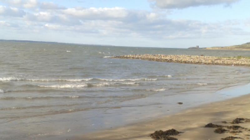
Claremont Beach is a small cove-like beach situated close to the harbour in Howth. It is a popular beach all year round and there are a number of pubs and restaurants located along the Harbour Road and in the village of Howth. Read more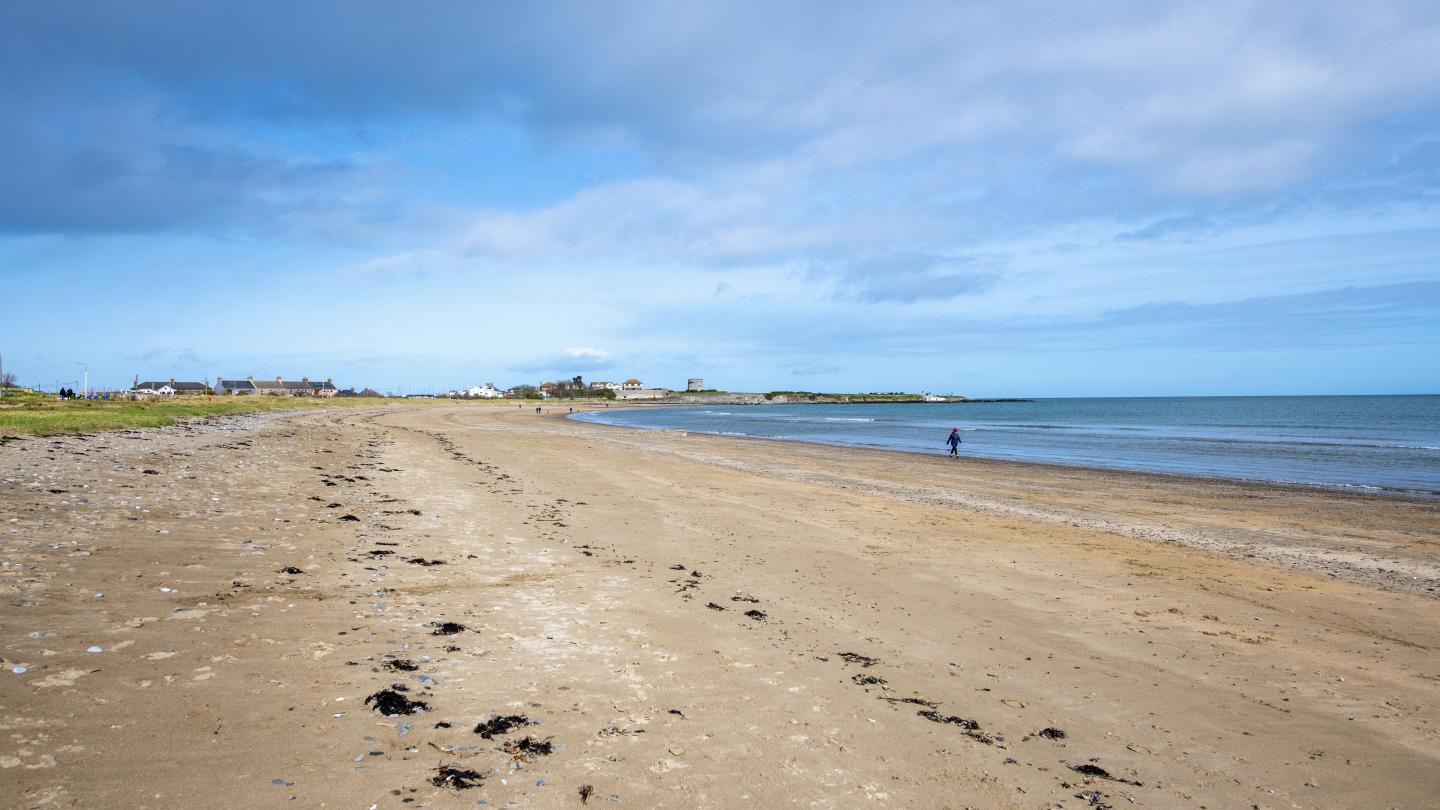
Skerries South Strand
Overview
Skerries South Strand is a long sandy beach, 2km in length with a beautiful esplanade and coastal walkway Read more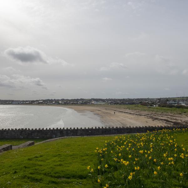
Skerries South Strand is a long sandy beach, 2km in length with a beautiful esplanade and coastal walkway.
Burrow Beach
Overview
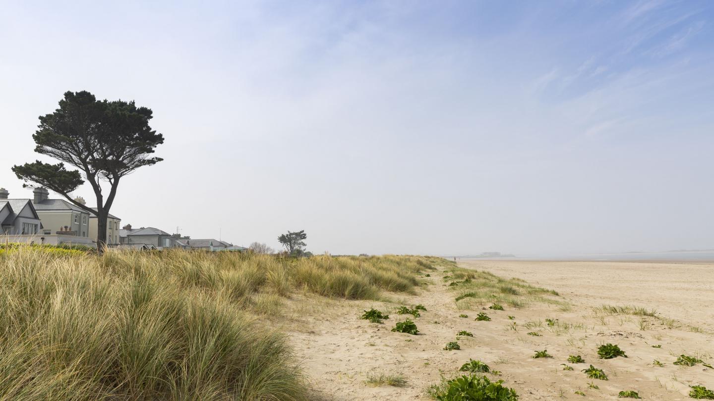
The Burrow Beach, Sutton is a sandy beach, 1.2 km long that connects Howth Head to the mainland. It has a large area filled with sandy dunes. Read more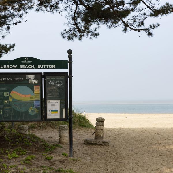
The Burrow Beach, Sutton is a sandy beach, 1.2 km long that connects Howth Head to the mainland.
Skerries North Beach
Overview
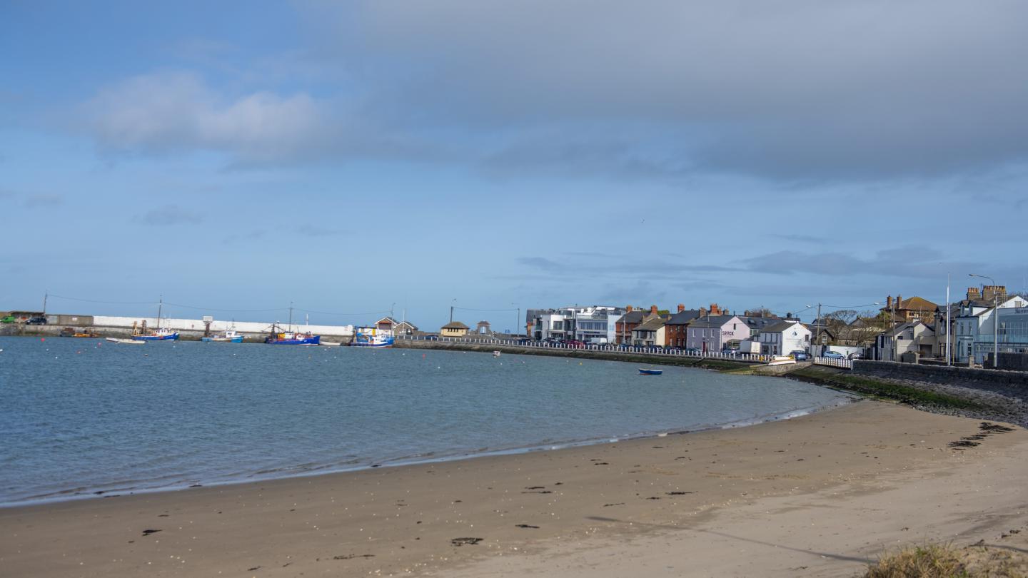
Skerries North Beach is a 1.2 km long cove-like beach adjoining the fishing harbour area. A coastal walkway around Red Island onto the South Strand adjoins this beach. There are children’s playground and car parking facilities at Red Island. Read more
Skerries North Beach is a 1.2 km long cove-like beach adjoining the fishing harbour area.
